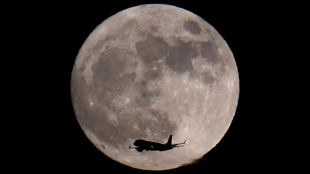
Spanish tech company GMV has introduced LUPIN, a GPS-style navigation system designed for lunar missions.
| Photo Credit:
REUTERS/Toby Melville
Spanish technology company GMV has unveiled a GPS-like navigation system for the moon that aims to make lunar missions as intuitive as a drive across town with apps such as Google Maps or Waze.
Called LUPIN, the project is part of a programme by the European Space Agency to test new positioning, navigation and timing techniques as interest in lunar surface exploration picks up again, whether for scientific research, potential mining opportunities or even future tourism.
“With this software, we bring Europe closer to establishing a presence of humans on the moon and, potentially, this would be a stepping stone towards Mars exploration or human presence on Mars,” Steven Kay, the project’s director, told Reuters.
The new technology was put to the test in the otherworldly landscapes of Fuerteventura – one of Spain’s Canary Islands – where GMV conducted field trials with the prototype in a part of the Earth that bears some resemblance to the lunar surface.
By using signals similar to GPS from moon-orbiting satellites, LUPIN would allow rovers and astronauts to pinpoint their location on the moon in real time.
Currently, navigating the Earth’s largest natural satellite is difficult, as spacecraft on its surface have to rely on complex calculations and data relayed from Earth – which is neither quick nor precise.
“Communication depends on direct visibility with Earth or the use of relay satellites in lunar orbit, which create communicative shadow zones and latency times that hinder immediate decision-making,” GMV said in a statement.
The lack of real-time updates on changes in the moon’s terrain caused by recent impacts or lunar dust movements also hinder ground trips on the satellite.
The company wants to combine existing lunar cartography with information gleaned from moon-orbiting satellites targeting dark spots, such as the lunar south pole and the “far side”, the area generally in shadow.
“We want these rovers to map the surface of the moon in a fast and safe way so that astronauts can return in a few years, work there and set up permanent bases,” said GMV’s head of strategy, Mariella Graziano.
Published on May 13, 2025
Anurag Dhole is a seasoned journalist and content writer with a passion for delivering timely, accurate, and engaging stories. With over 8 years of experience in digital media, she covers a wide range of topics—from breaking news and politics to business insights and cultural trends. Jane's writing style blends clarity with depth, aiming to inform and inspire readers in a fast-paced media landscape. When she’s not chasing stories, she’s likely reading investigative features or exploring local cafés for her next writing spot.


